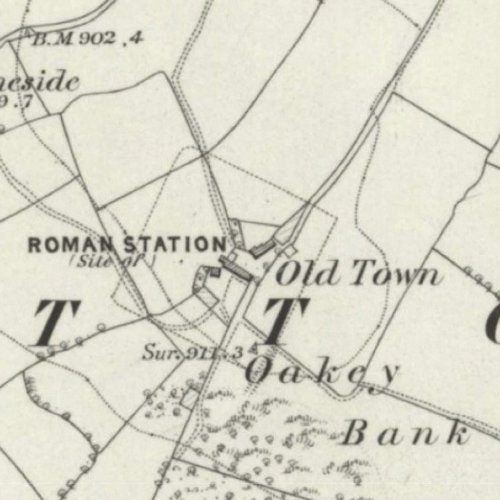
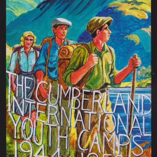
Caron Newman’s talk stems from her research in the development of rural settlement patterns and field systems in Cumbria, from the later medieval period through to the late eighteenth century. Using documentary, cartographic and archaeological evidence, the techniques of historic landscape characterisation (HLC), and map regression, and manipulation using Graphical Information System (GIS) software, Caron has developed a digital map of Cumbria in the late eighteenth century, based on the county-scale maps of that period, enhanced with information taken from enclosure maps and awards, and other post medieval cartographic sources. For Alston Moor Historical Society, Caron will emphasise the development of the landscape in relation to industry.

 Home
Home  Events
  Membership
  Find Us
  About Us
  Volunteer
  Contact
  Research Links
  Physical Archives
  Digital Archives
  1000 Year Lease
  Previous AMHS Websites
  Search
  Past Meetings
  Articles
  Jubilee Exhibition
  Photo Gallery
  Facebook Page
  Facebook Group


 Home
Home  Events
  Membership
  Find Us
  About Us
  Volunteer
  Contact
  Research Links
  Physical Archives
  Digital Archives
  1000 Year Lease
  Previous AMHS Websites
  Search
  Past Meetings
  Articles
  Jubilee Exhibition
  Photo Gallery
  Facebook Page
  Facebook Group
